
This summer we continued on some sections of Sörmlandsleden that we had not done before: the coastal route from historical iron works town Nävekvarn to Nyköping. Just like our previous outings, this had a fun mix of technical wilderness, old logging roads and rail lines, and agriculture (pasture and crops). Graham did the route planning for this one, so we had water stops and 2 overnights with shelters – pretty nice to cook and eat in when it is windy and/or rainy. It was also nice to have a flat space to roll out my yoga mat since I’ve had some back and hip pain and it really helps to do the physio exercises everyday – even though it meant carting around the big rolled up yoga mat! Needless to say, we are not lightweight backpackers.
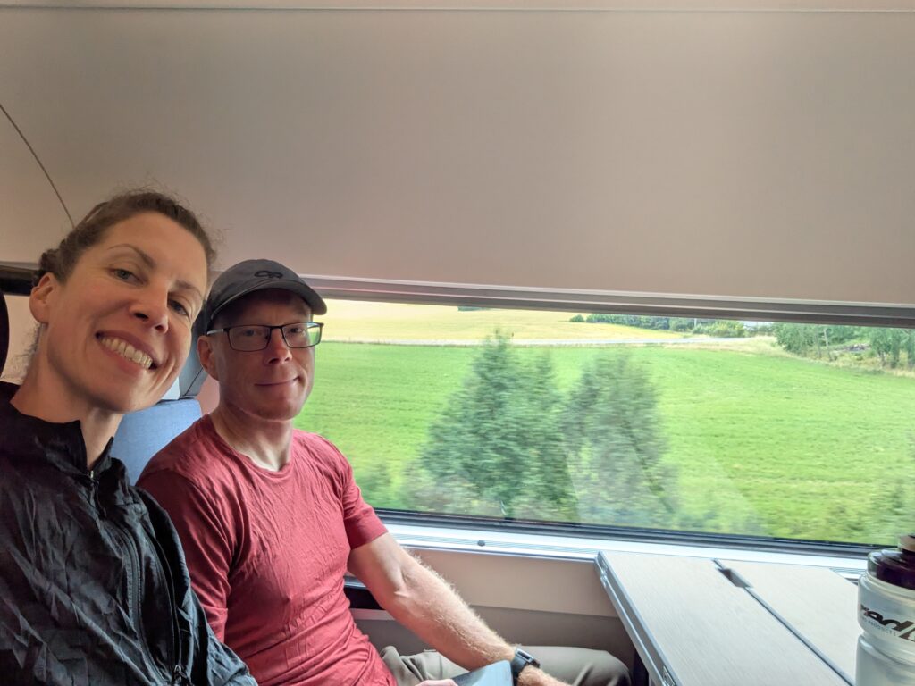
The train ride to Nyköping rolls by the fields, forests, and lakes of Sörmland 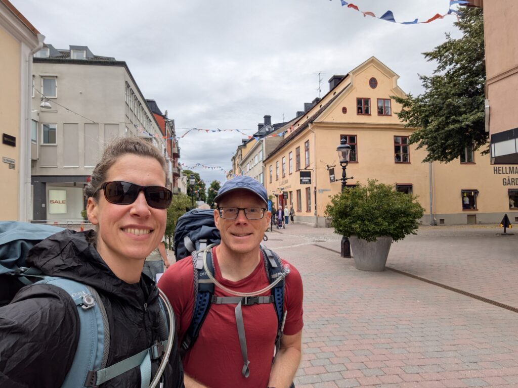
We did not spend that much time in Nyköping, but the train station is across town from the bus station so we got to walk through it. This is in the pedestrainized market centre. 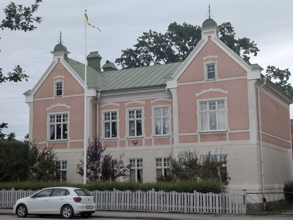
Nyköping has some really nice old places. 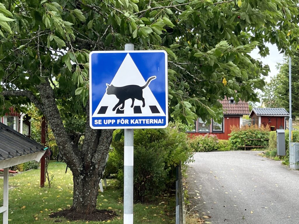
Nävekvarn is a quite cute small town with some very nice-looking residential areas, complete with cat crosswalks 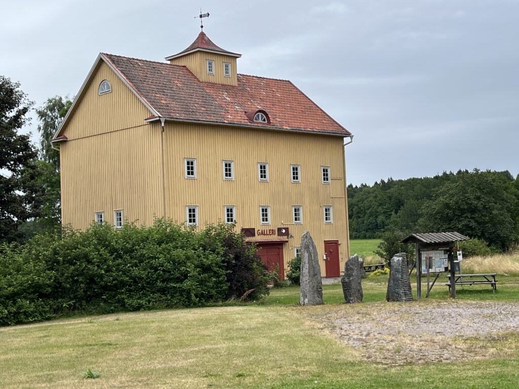
The art galleri att Nävekvarn 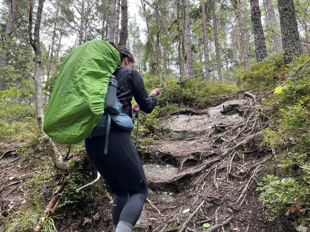
Graham takes a lot of sneaky shots like this – but it definitely shows the coastal terrain! 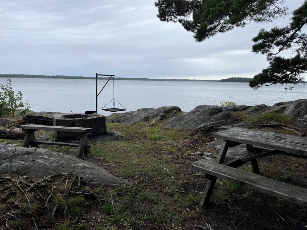
There is a litle hike out around the coast and onto a small island; along the way we lots lots of great outdoorsy infra 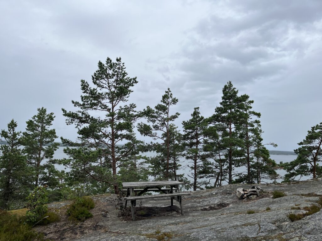
Picnic table in the middle of nowhere… 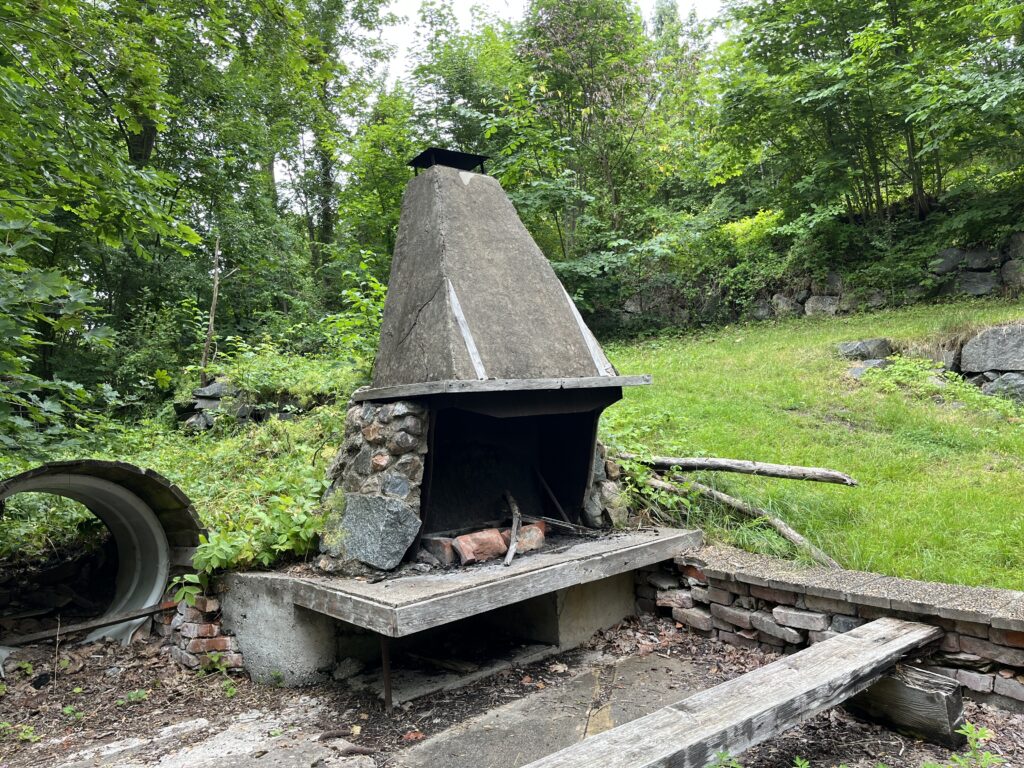
Cool fireplace for grilling and stories. 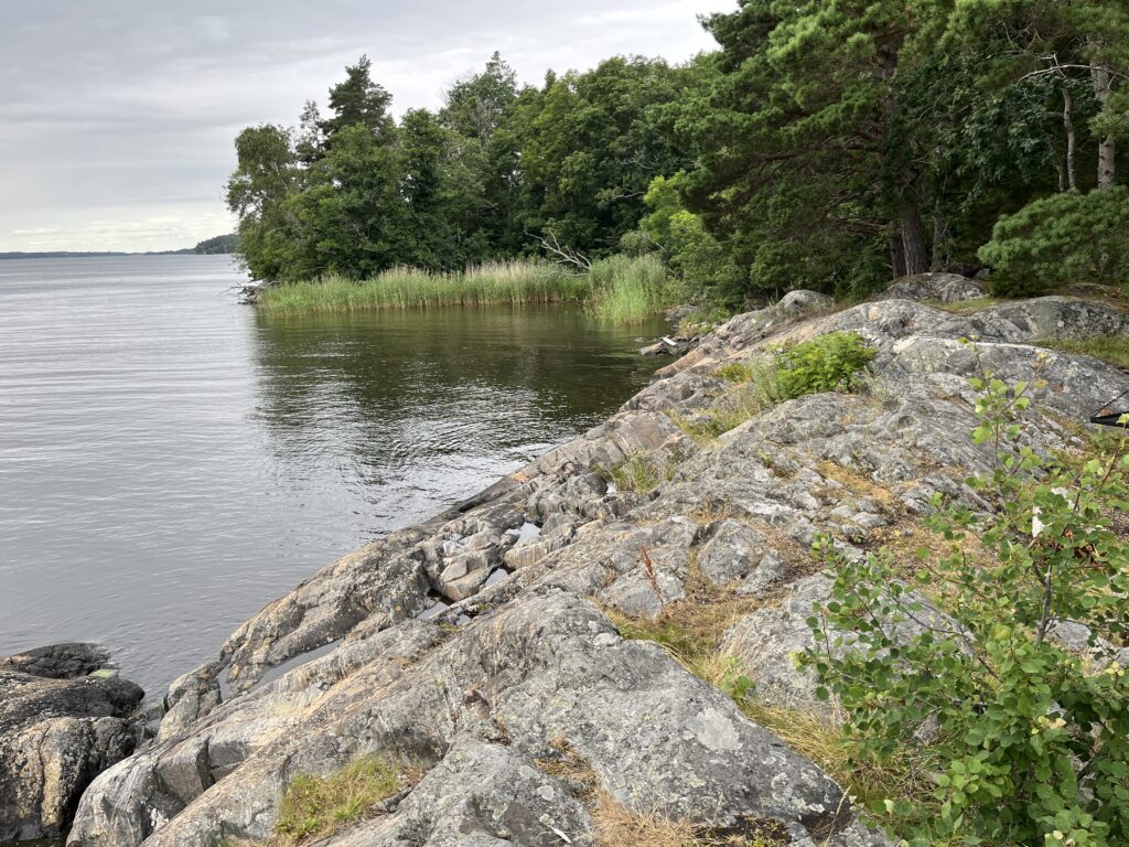
Lots of views of the Baltic from the trail 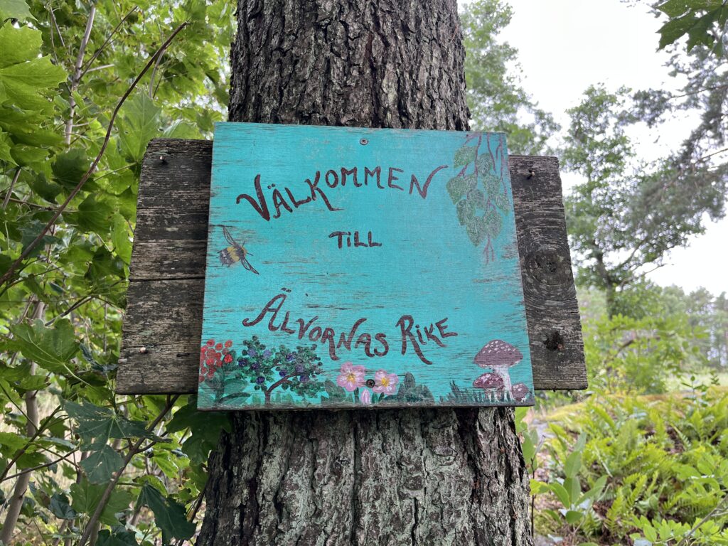
Welcome to the elf kingdom! 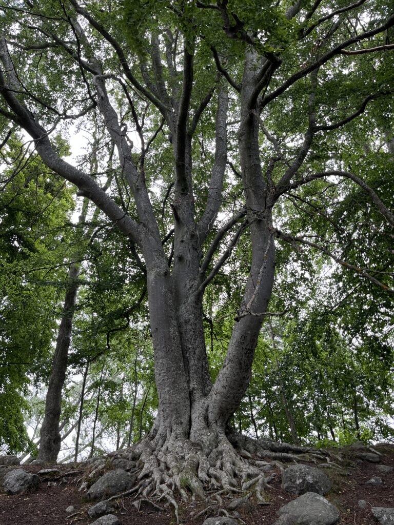
King of the elf kingdom, I presume 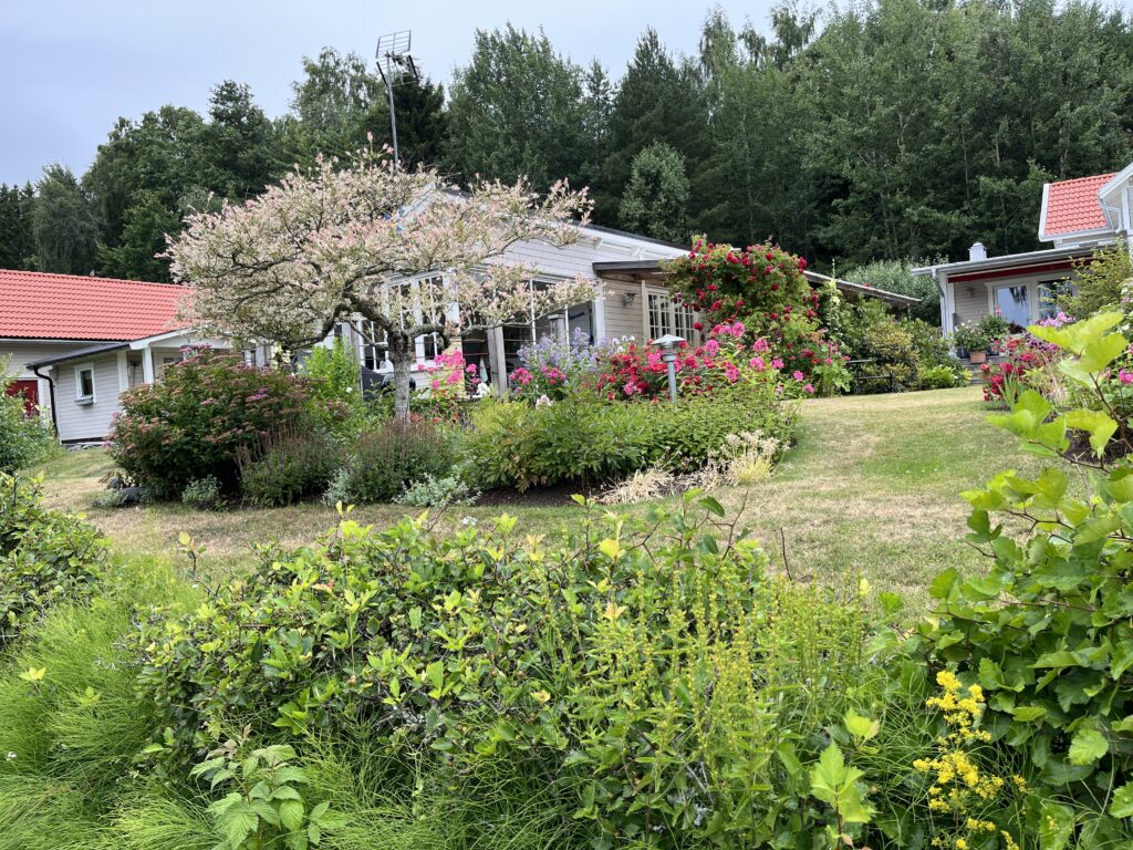
Summer houses along the beach made for great garden-peeping 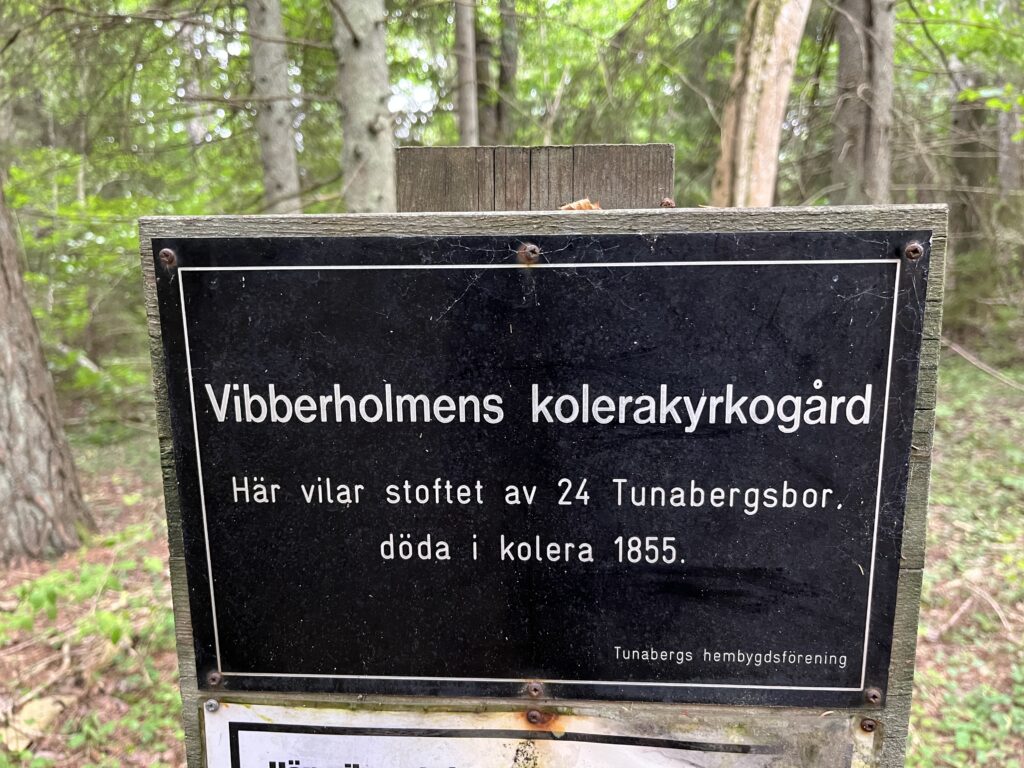
Sörmlandsleden has a lot of historical landmarks. This one marks a graveyard used during a Cholera outbreak in 1855 (placed quite far from the town). 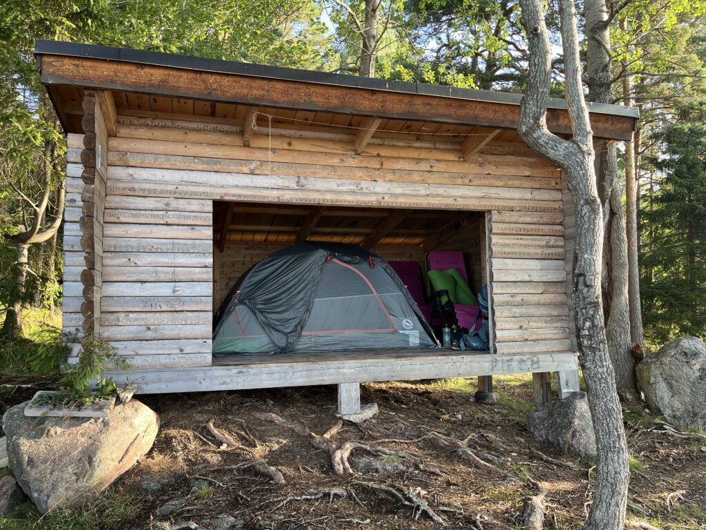
Our first night was in this ample windshelter 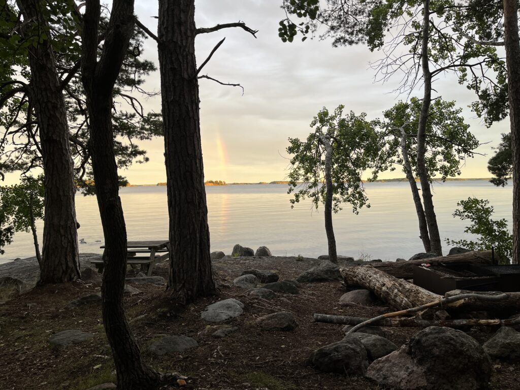
Lovely view from the tent
This was not a long hike, but definitely fun and really nice to be out in nature… notwithstanding the fact that I write this one month later and still have some horsefly bite marks. I’ve decided this is my last trek in tights, and its time to switch to true (biteproof) outdoor pants.
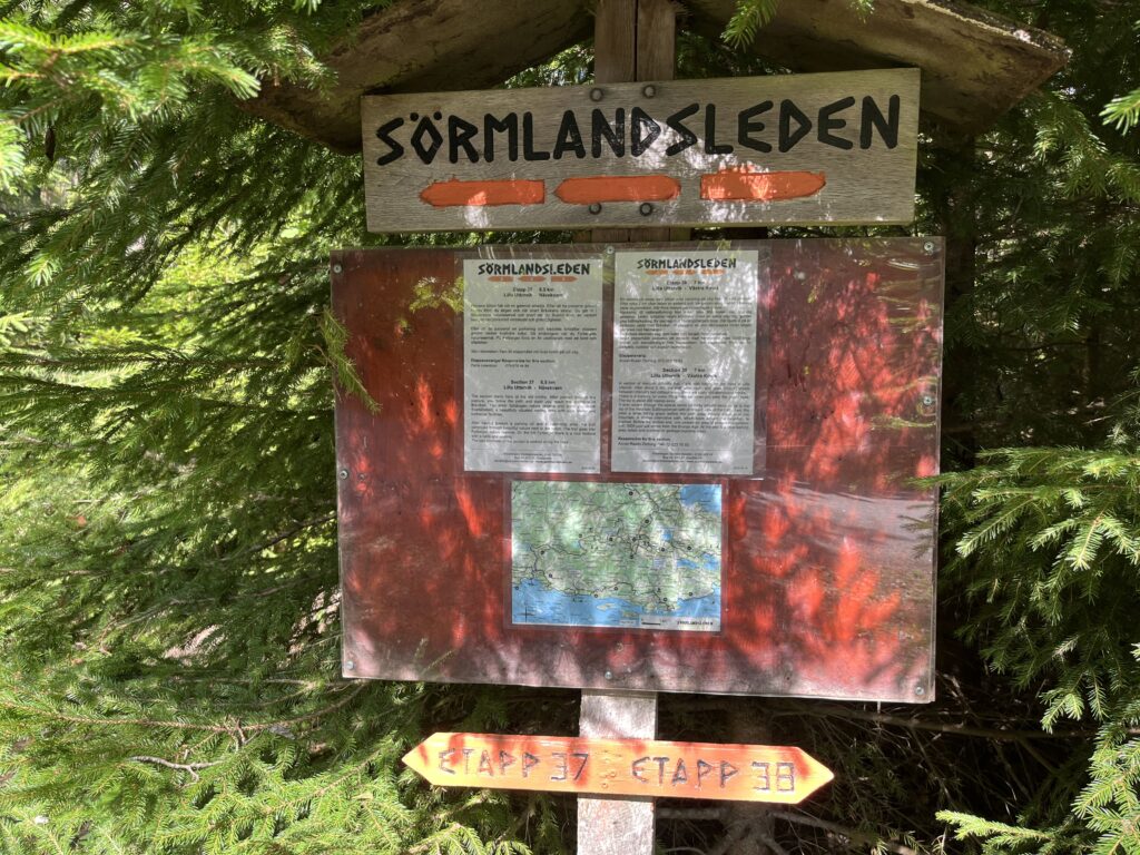
The stage markers have maps and descriptions of the trails ahead 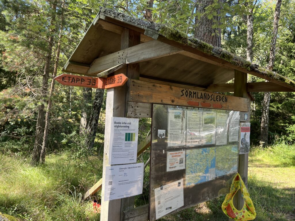
Sometimes many trails come together and the board becomes a bit of a community bulletin 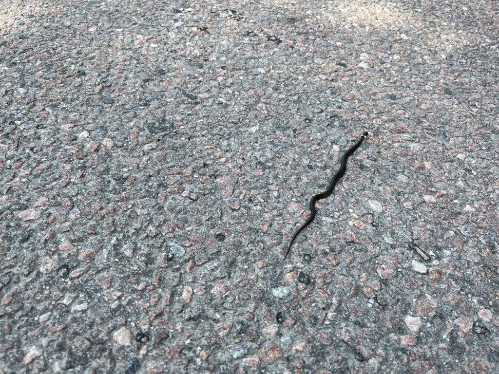
Snook! The Swedish equivalent of a garter snake 
The coastal portionwent from toes dipping in the water to (I guess?) 80m above 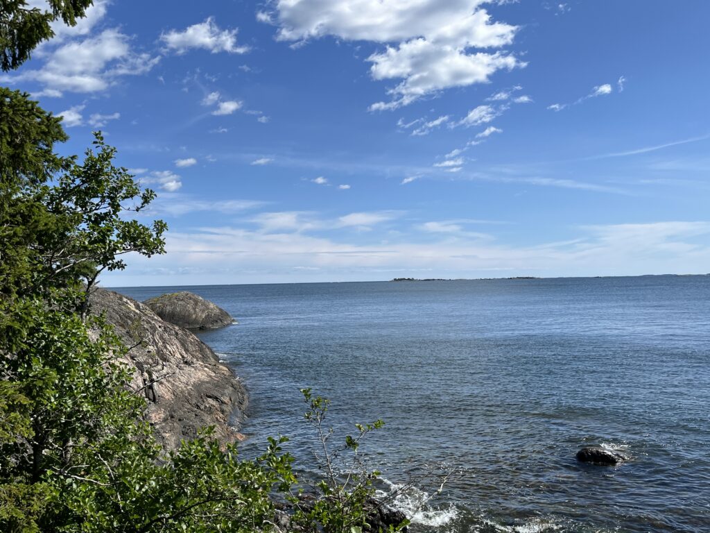
Looking out to sea 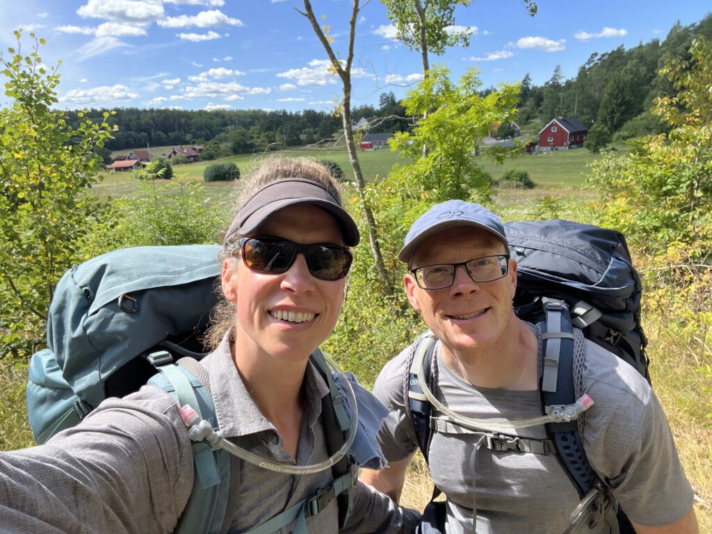
It’s not all rugged coastline! We walked by a lot of farms 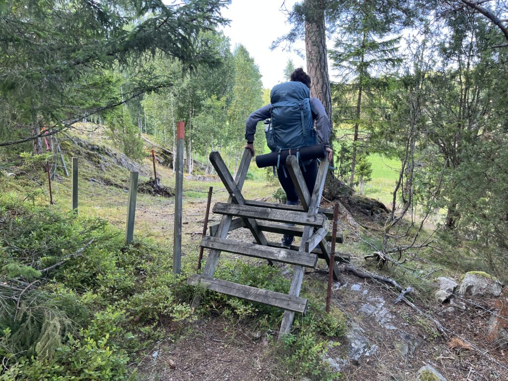
The Swedish ‘right to roam’ means you can cross most pastures, and these sheep-proof people ladders help with that 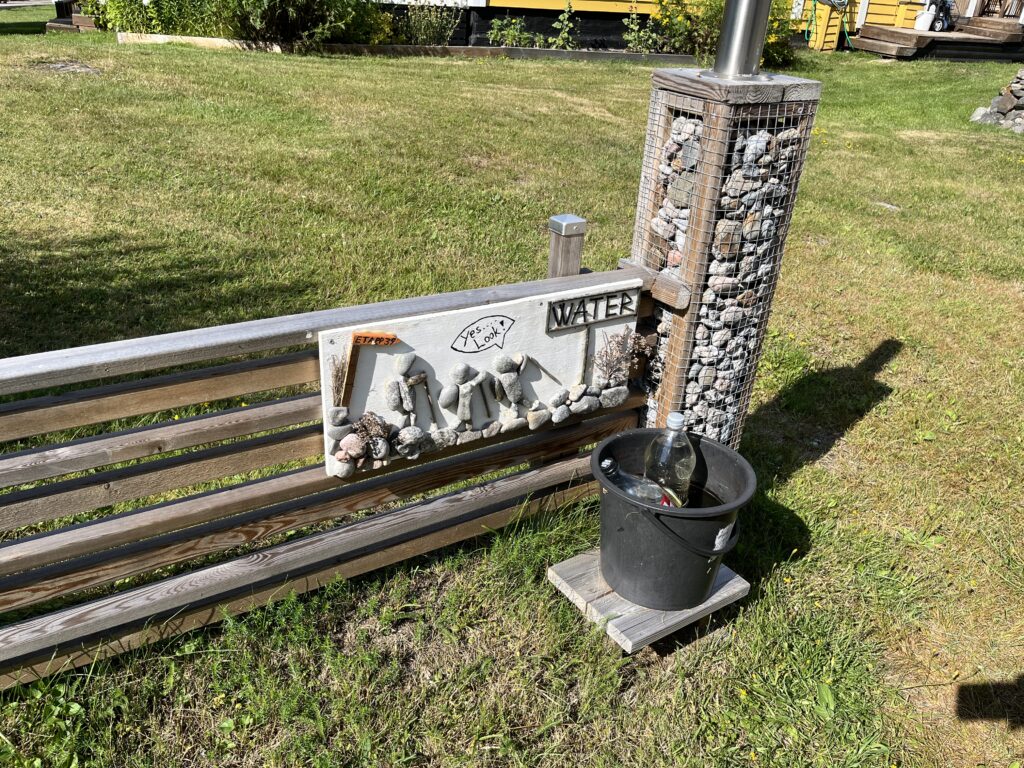
Quite far from any services and wells we found this water station by an off-grid cabin. So thoughtful!1 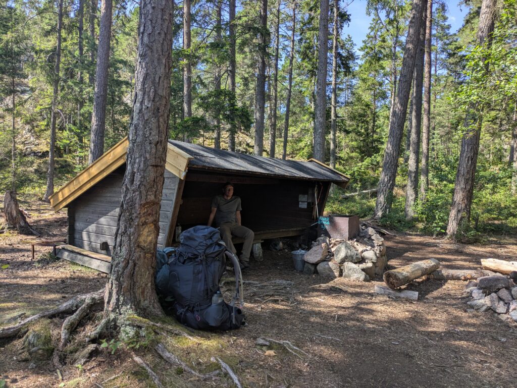
One of the nicest shelters we saw was right by the sea in a tall forest 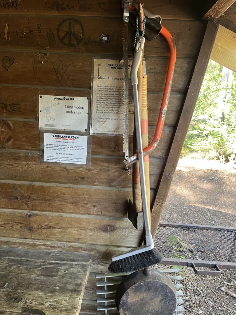
Some of the shelters are quite well equipped! Tools to make a fire AND a long-handled cast-iron pan for apple pancakes. 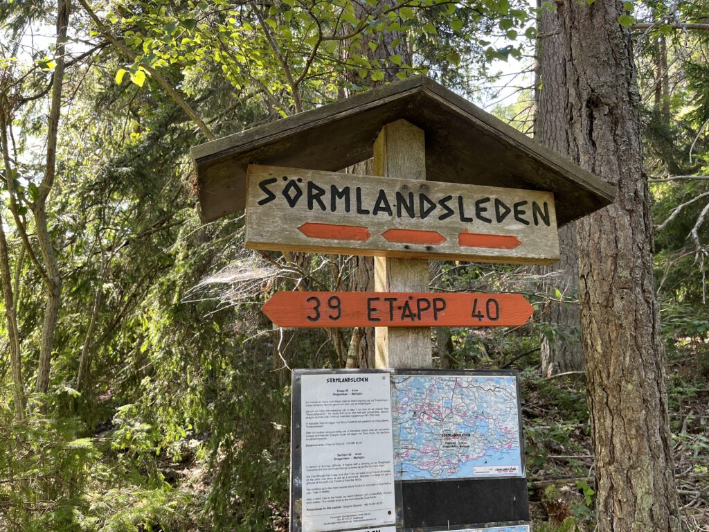
Another stage ticked off! 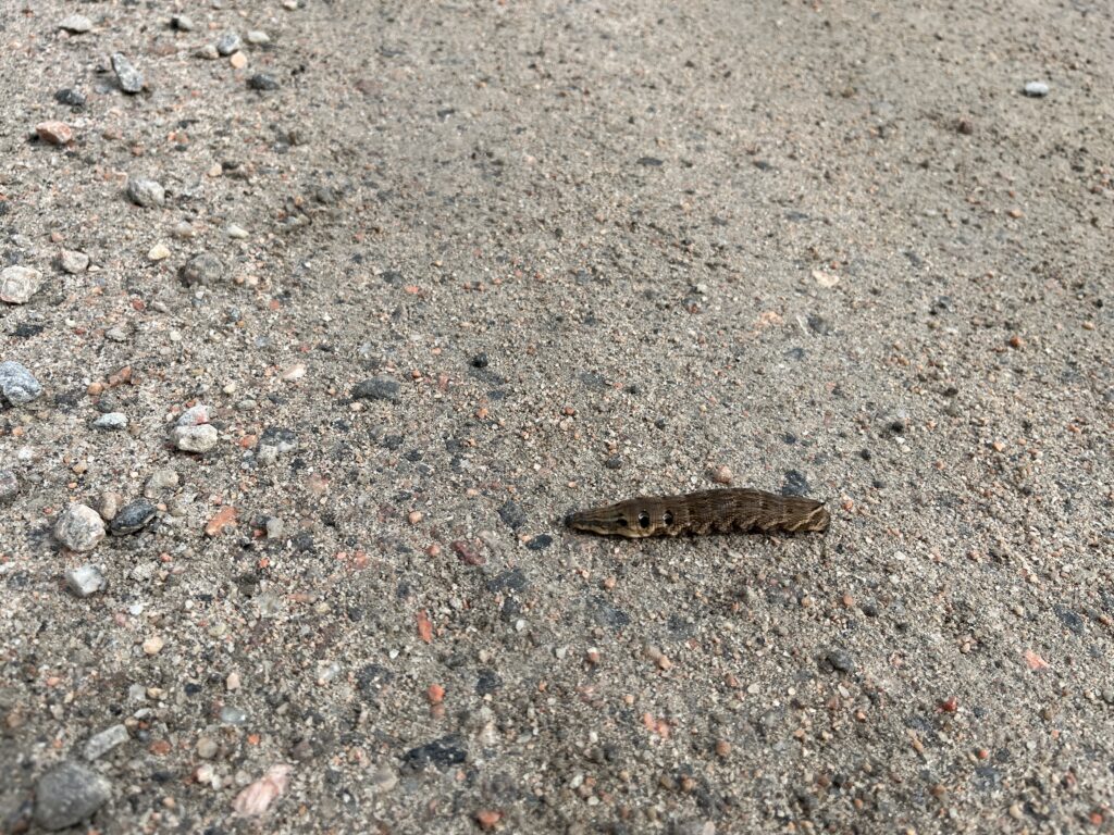
No scale here, but this was a giant caterpillar, bigger than a big slug 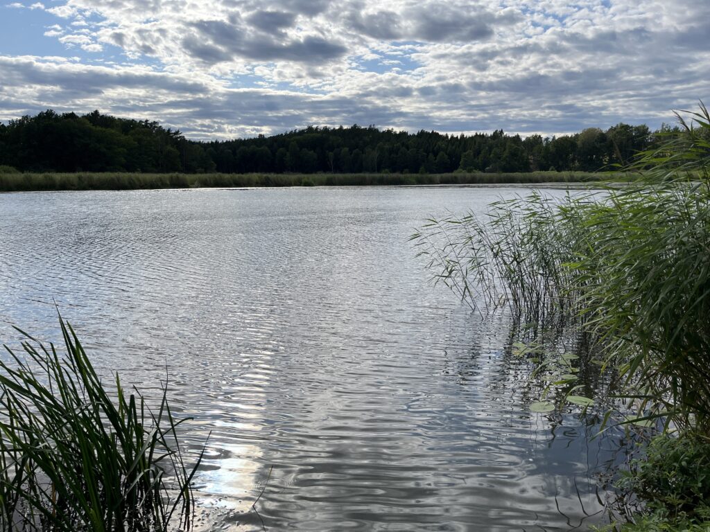
View of the freshwater lake after dinner 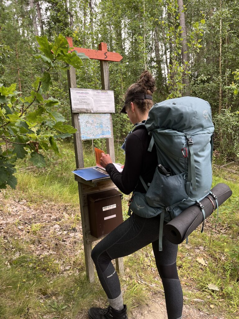
The trail wardens ask you to fill in the guest book so they have an estimate of throughput. 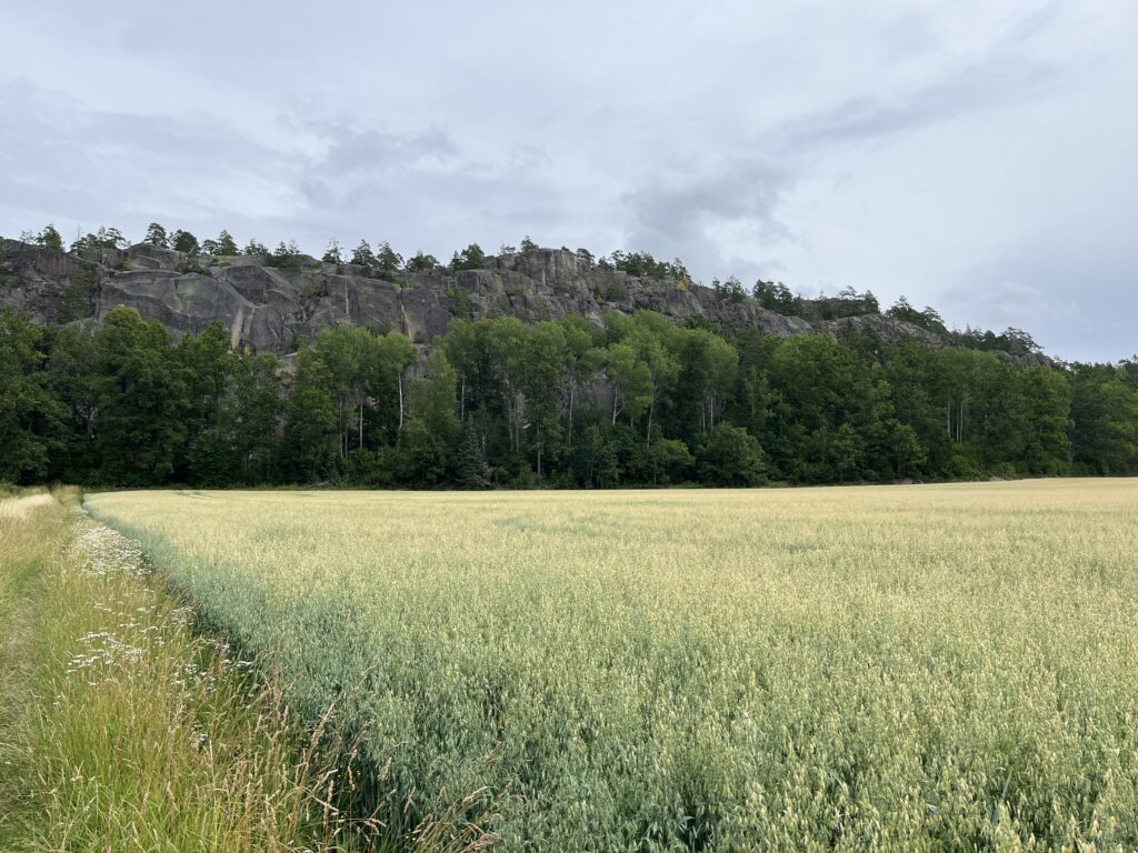
Simonberget, a popular climbing face in Tunaberg 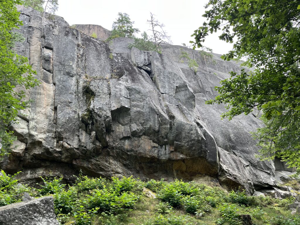
Closeup ofthe climbing face. When we hiked to the topand looked around, a fellow poked his head up over the shear edge 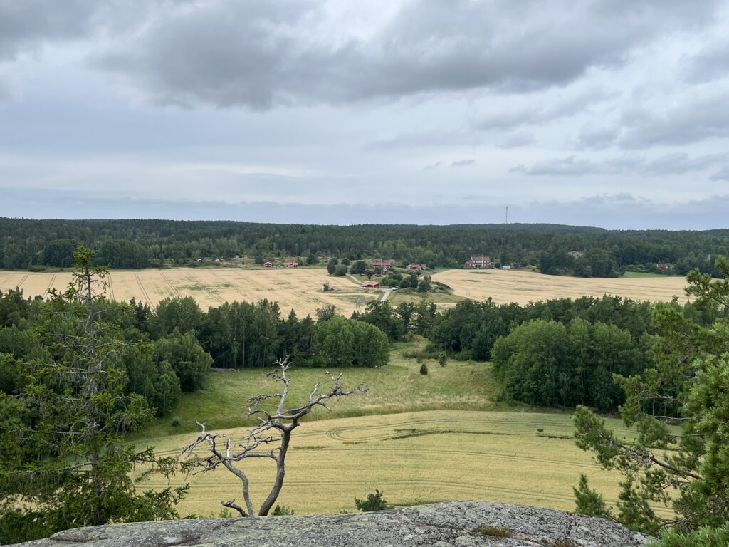
View from the top 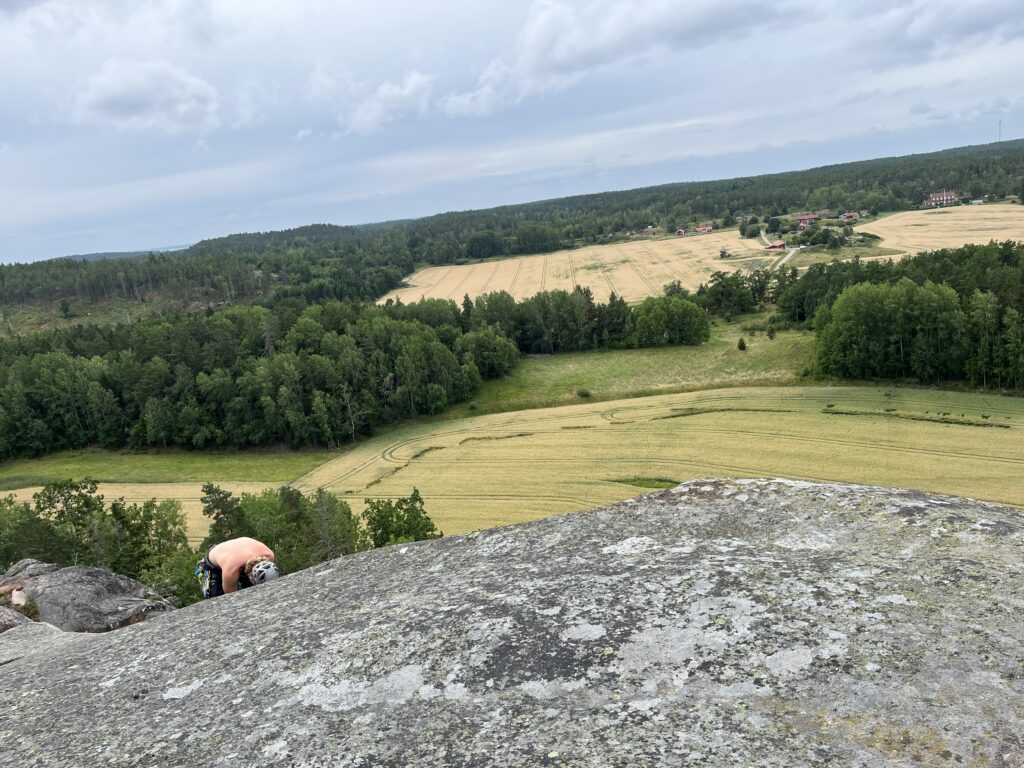
The climber organizing his ropes for the trip back down 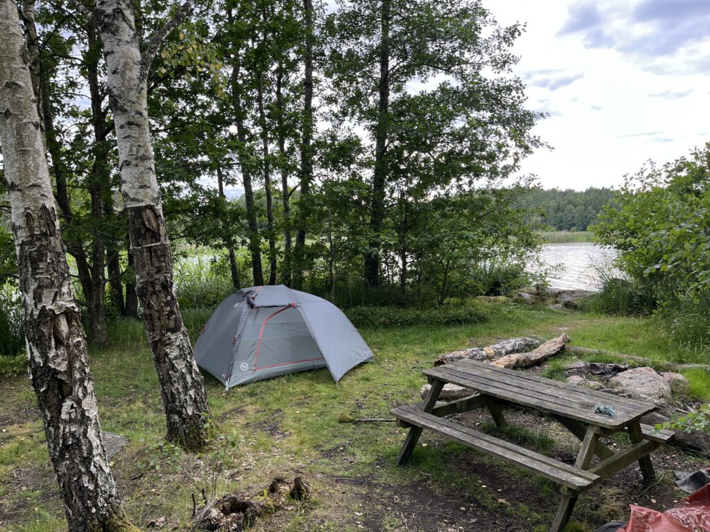
Our second night camping spot – MUCH more bugs when by a fresh water lake instead of the sea 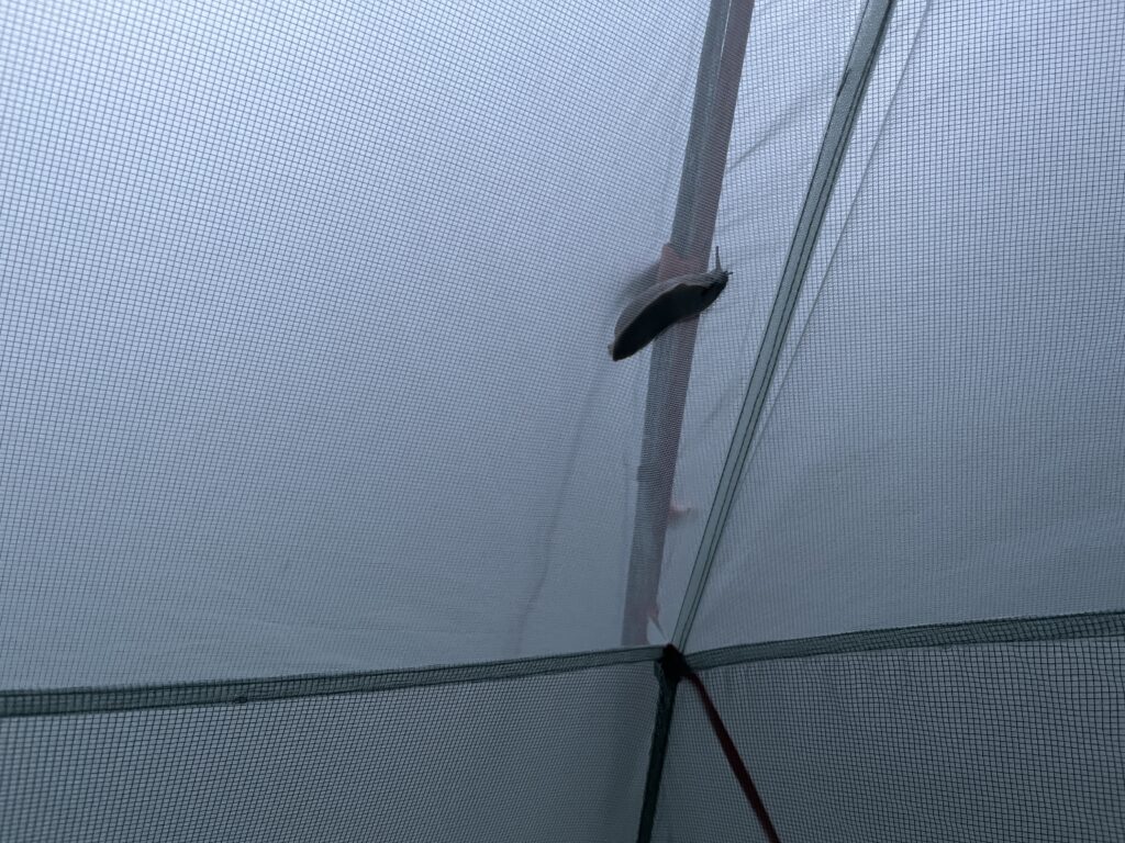
A friendly neighbourhood slug comes to call 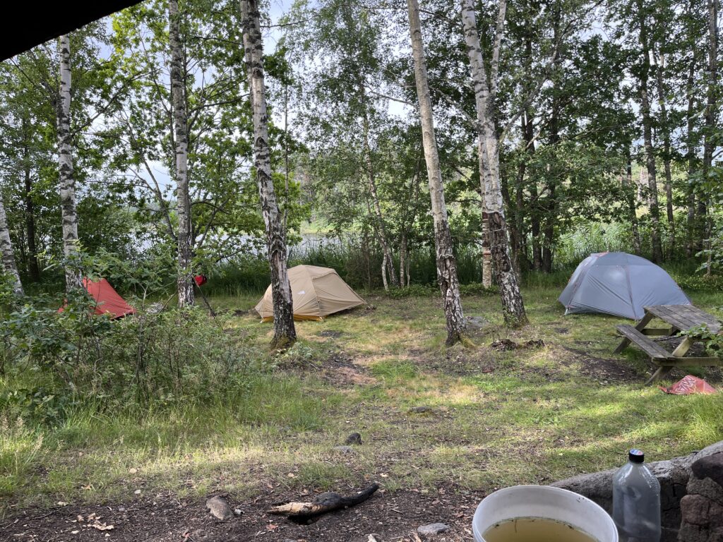
We ended up with some people neighbours too 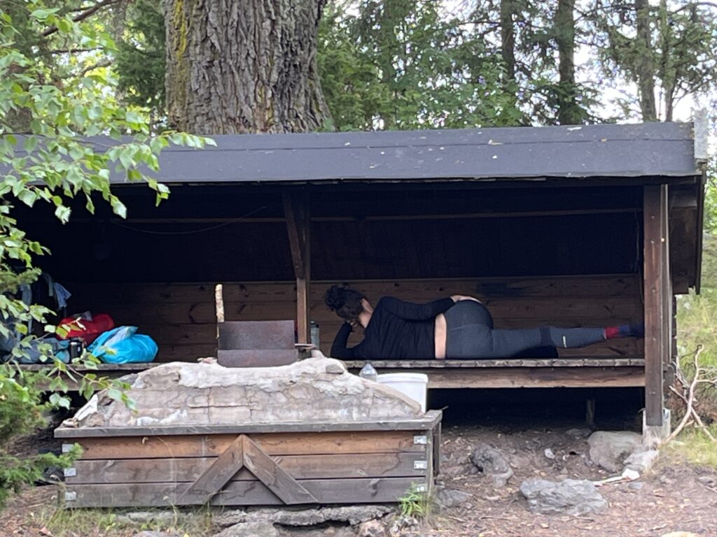
Me doing physio exercises in the shelter
Rather than camp an extra night we decided to press forward and have a big last day. Feet were a *little* sore, but warm shower and clean sheets definitely made up for it.
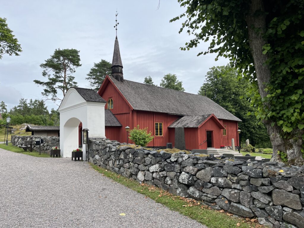
Tunaberg church, the only wooden church in Sörmland 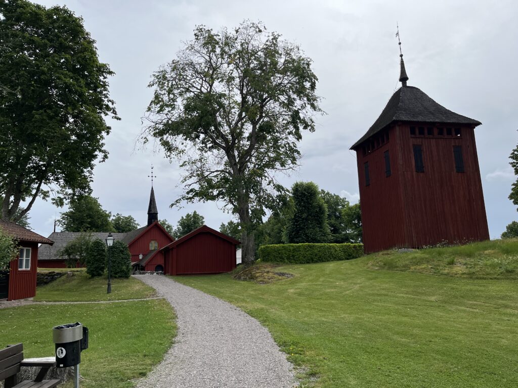
Tunaberg was a copper mine and forge long ago 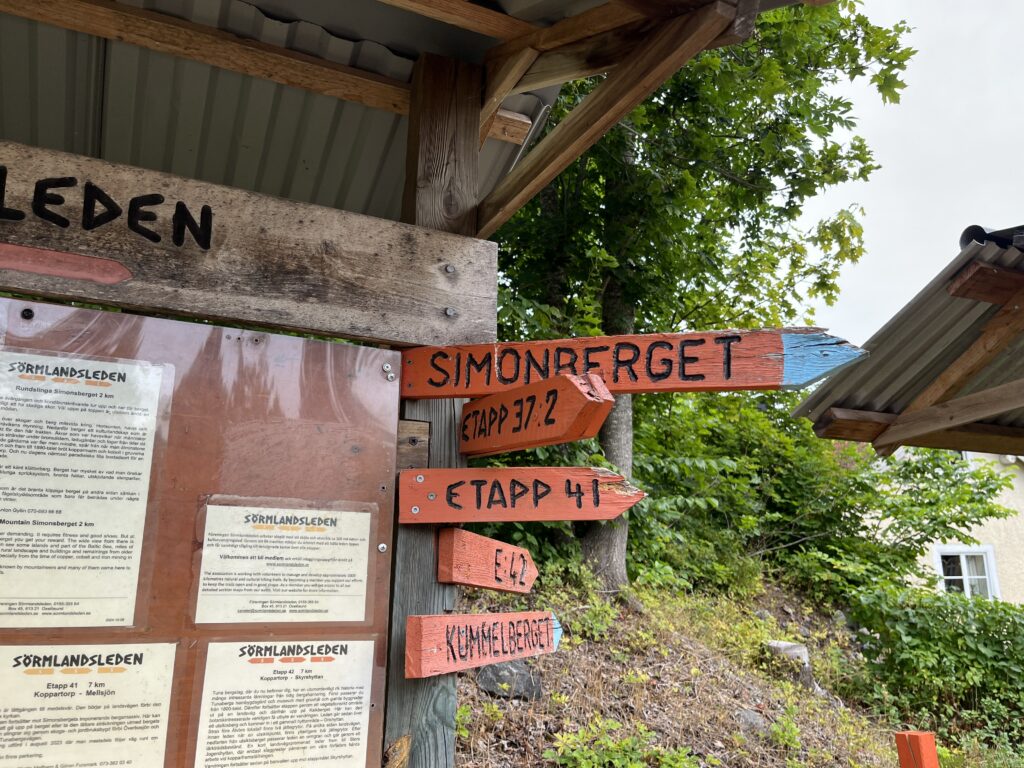
The town doesn’t really have any services, but is a joining point for several trail segments and you can get water in the churchyard 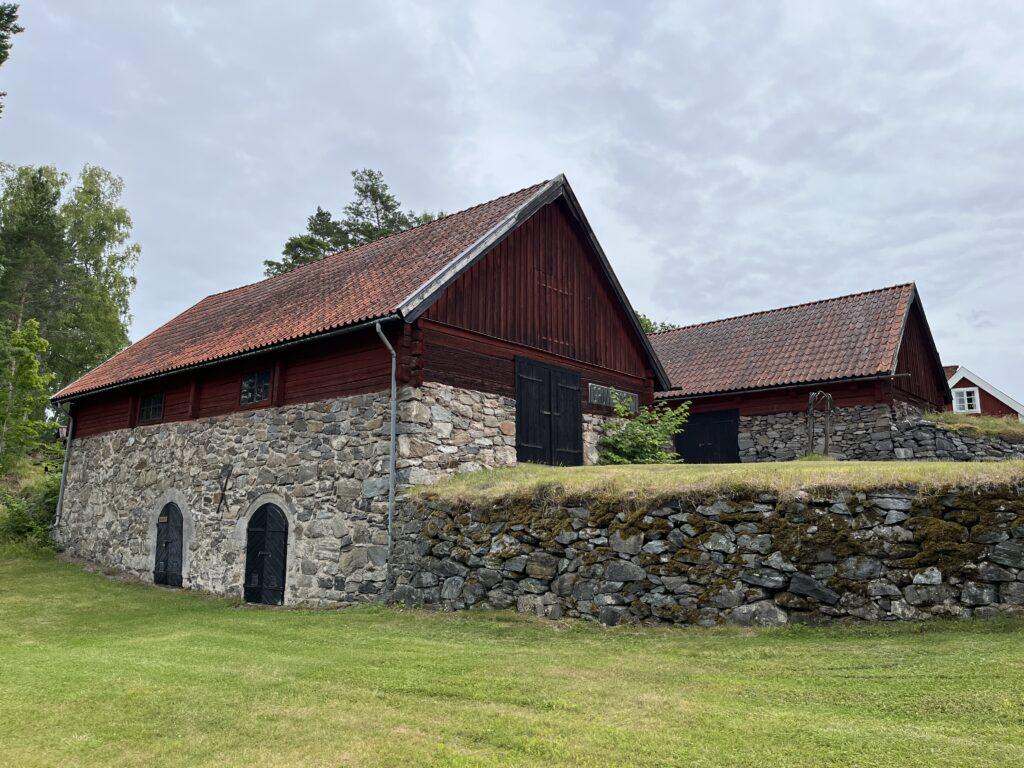
One of the old mining buildings 
Historic mine shaft! 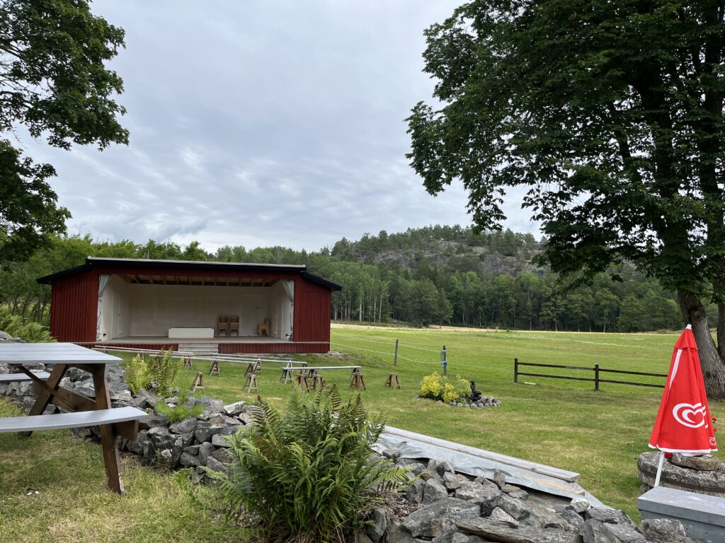
There is a seasonal Café and outdoor performance space y the old mine 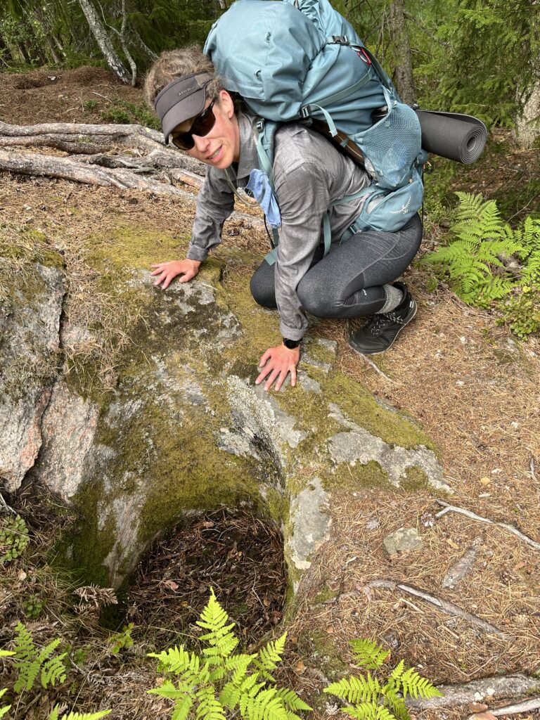
A giant glacial pothole formed by years of a round rock being slid around in a granite depression 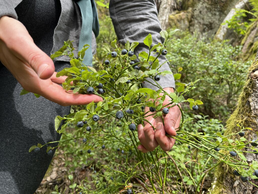
It is a great year for blueberries! We ate lots along the trail. We ate raspberries too, but they were usually in much buggier spots so we didn’t stop for photos 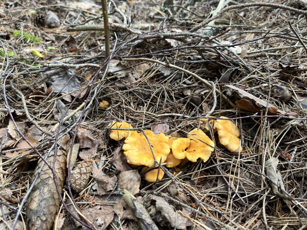
Chantarelles in the forest as well. 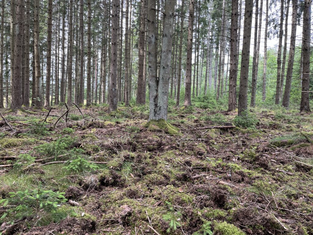
It also seems tobe a good year for grubs, so there was lot of evidence the wild pigs had been through to root up all the grubs 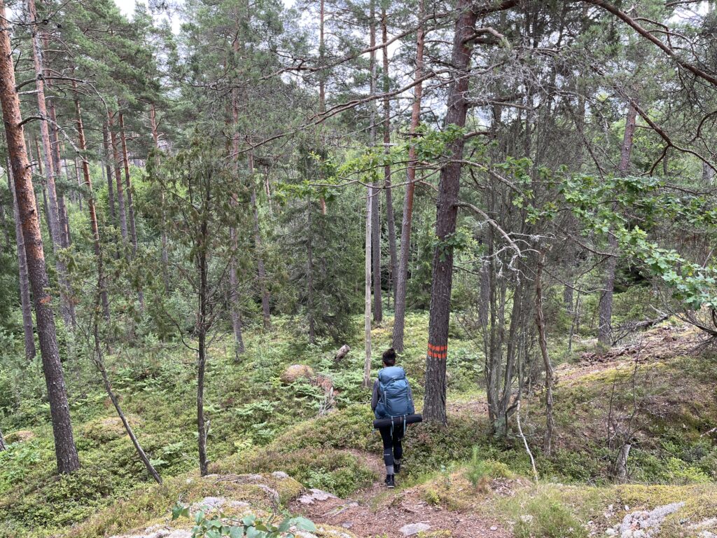
Rambling along through the densest ant habitat I’ve ever seen 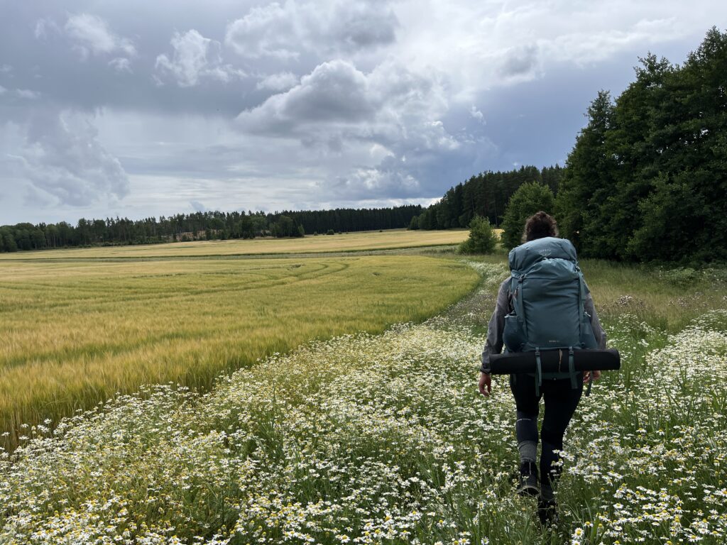
Generally one is not allowed to cross crop land, but some farmers allow a single-file through a feild. This track is in the flower border at the side of a grain field 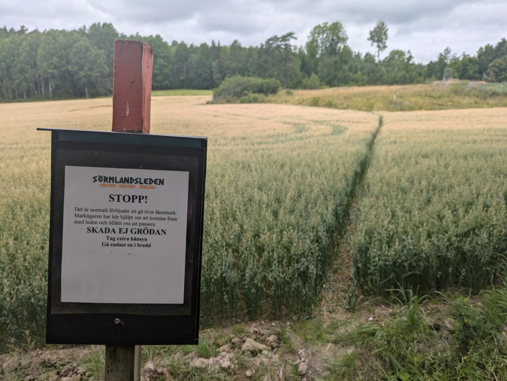
Stop! Be respectful of the farmer’s field! 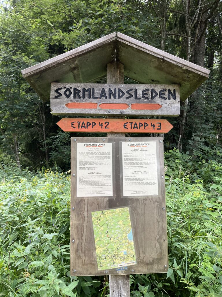
Getting closer to Nyköping again 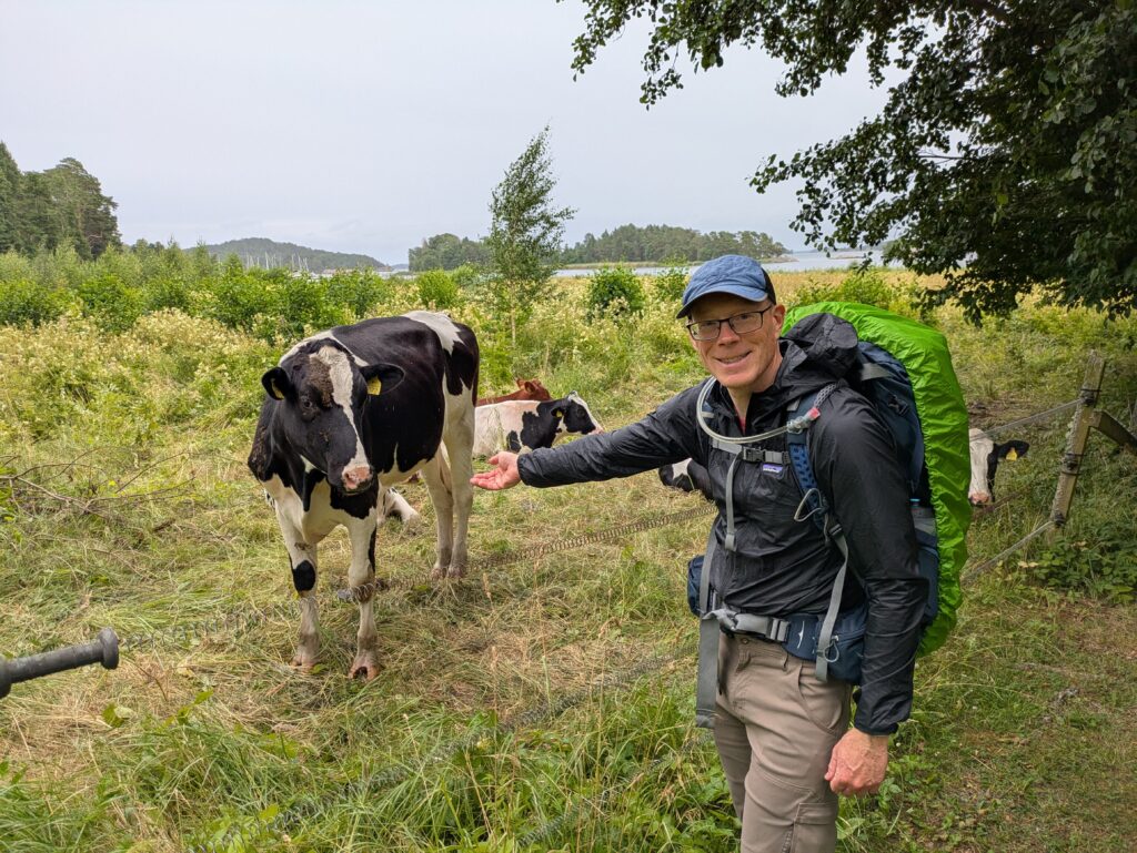
These heifers were curious and snuffly 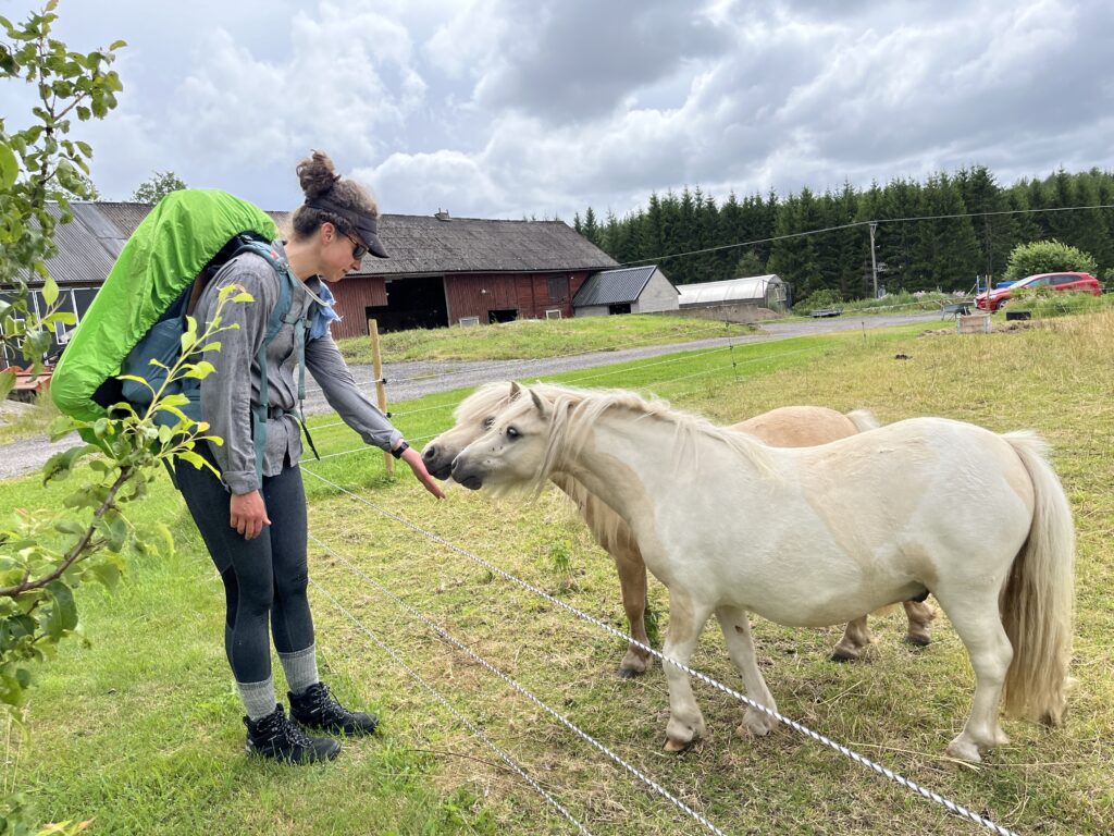
Most fields have sheep or cows, but sometimes you luck out and get ponies 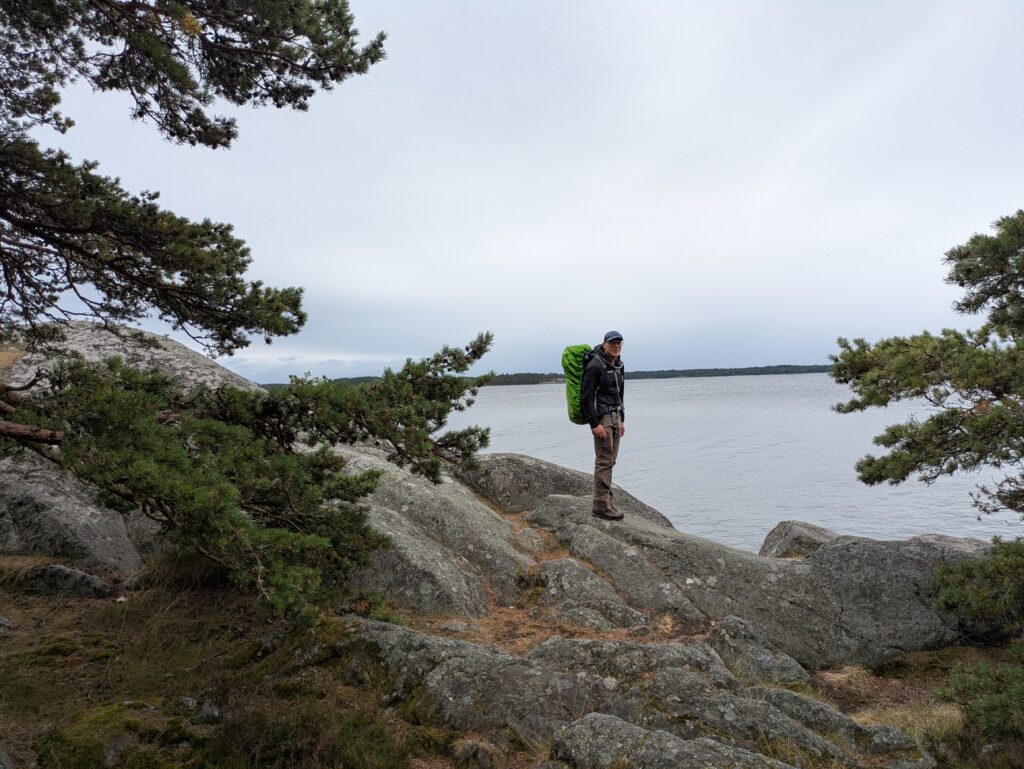
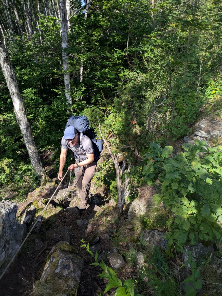
This portion of the trail has quite a few rope assisted sections (and only one where the rope was gone). 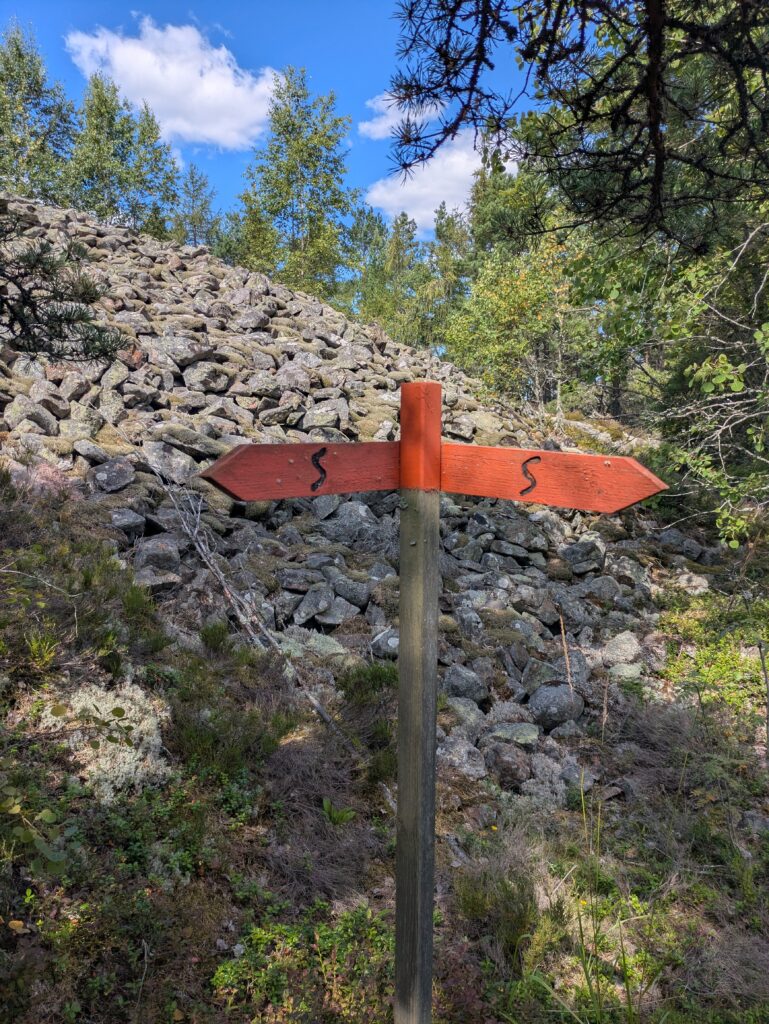
Some of the historical sites are bronze-age grave sites and wayfinding markers – most of these are up on hilltops with a view of the sea 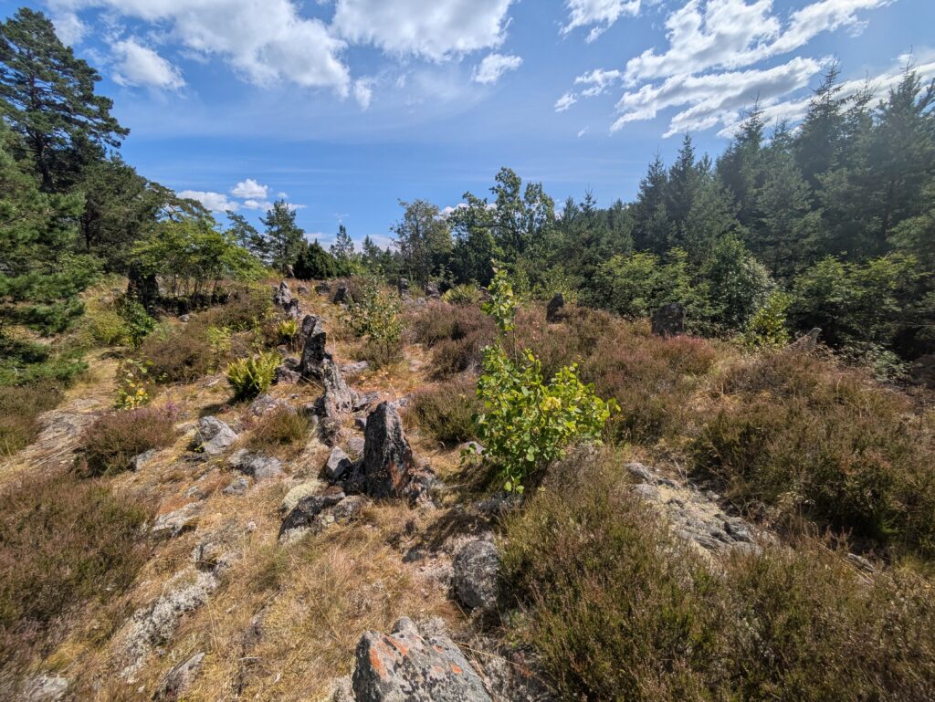
Vertical stones set up as a ship 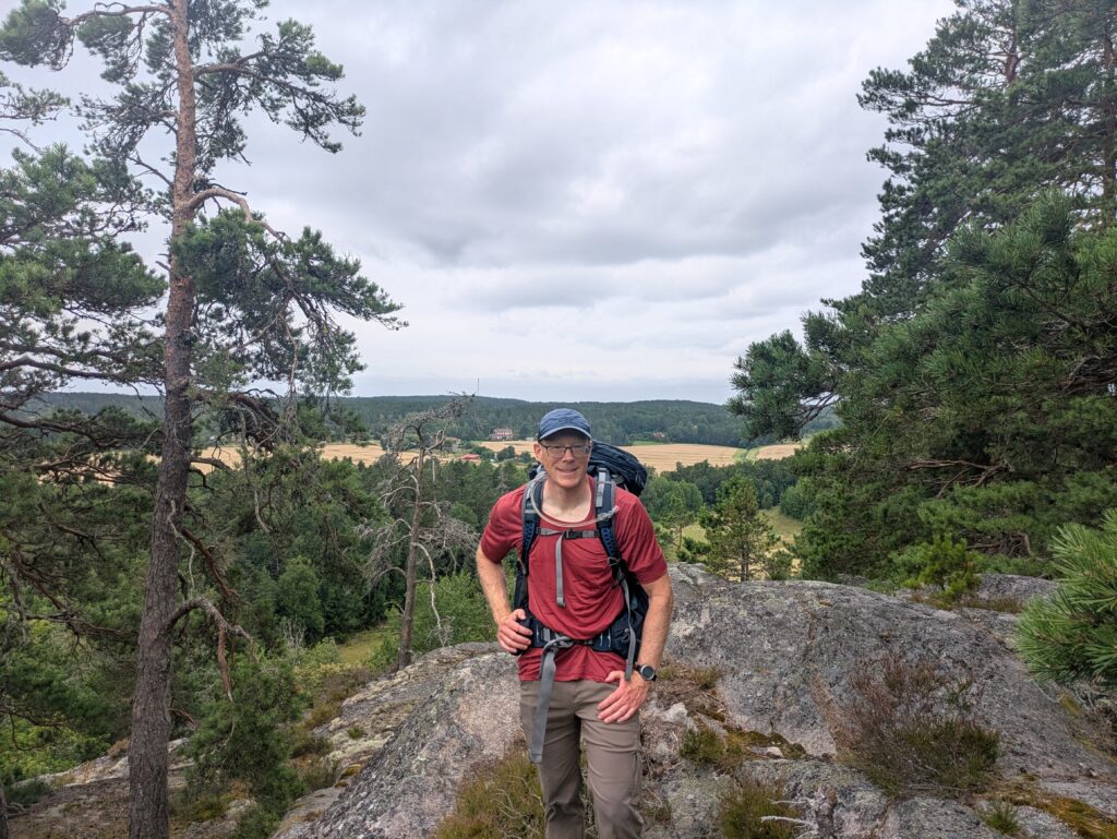
It is not mountains, but there is a lot of up and down over the rocky hills 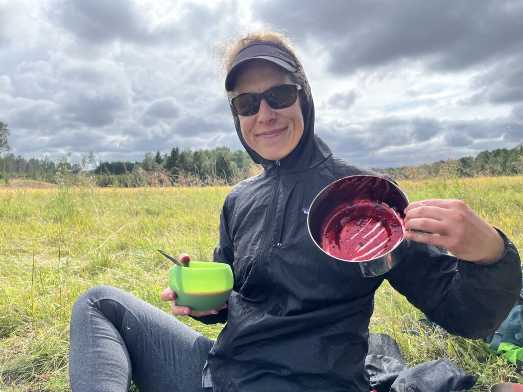
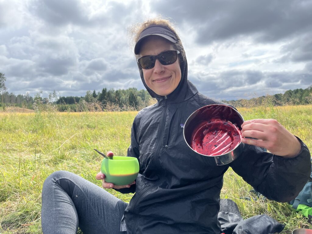
On the last day we stopped for a snack of hot blueberry soup (with fresh-picked blueberries!) on the border between a hayfield and the forest. 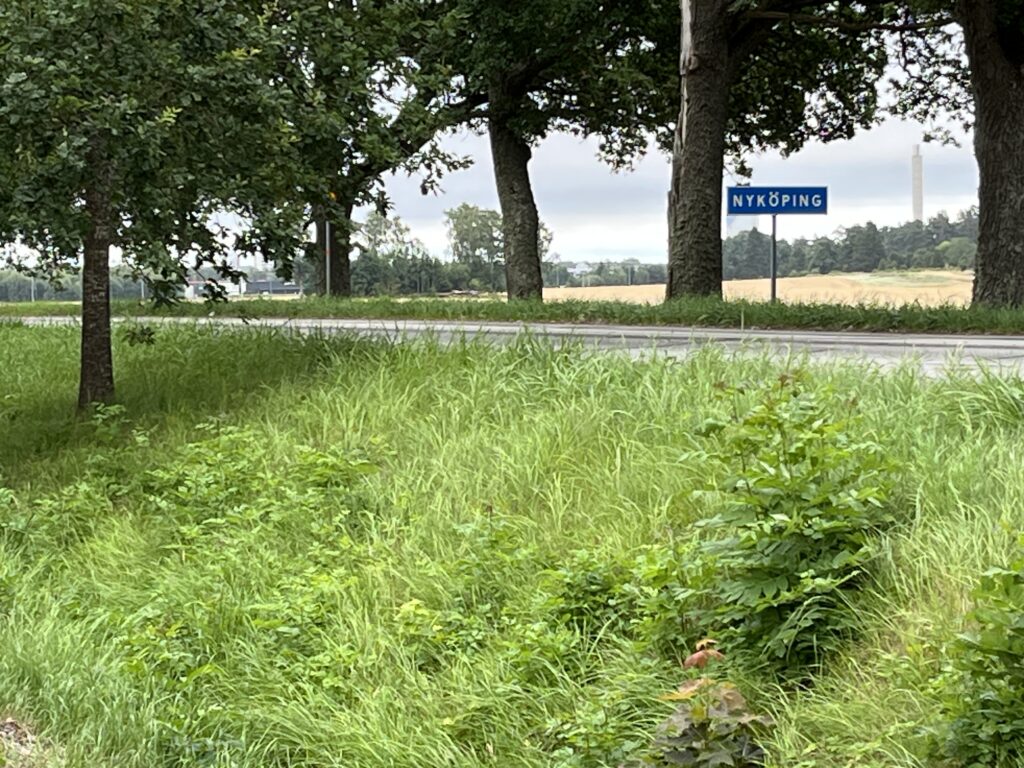
Nyköping in sight! 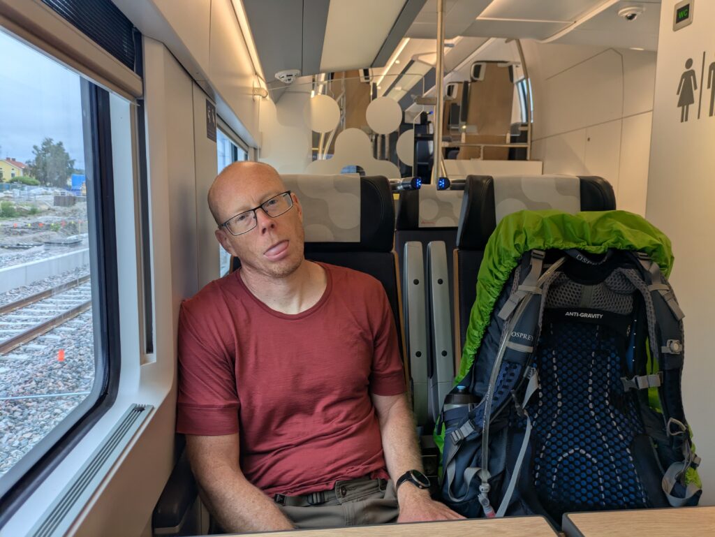
Heading home on the train after a 30+km day. 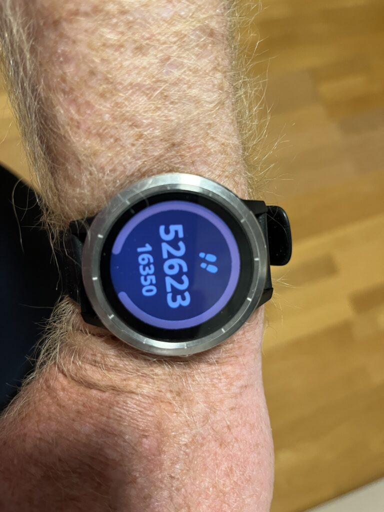
Graham logged more than 50 000 steps that day! No wonder we were tired.