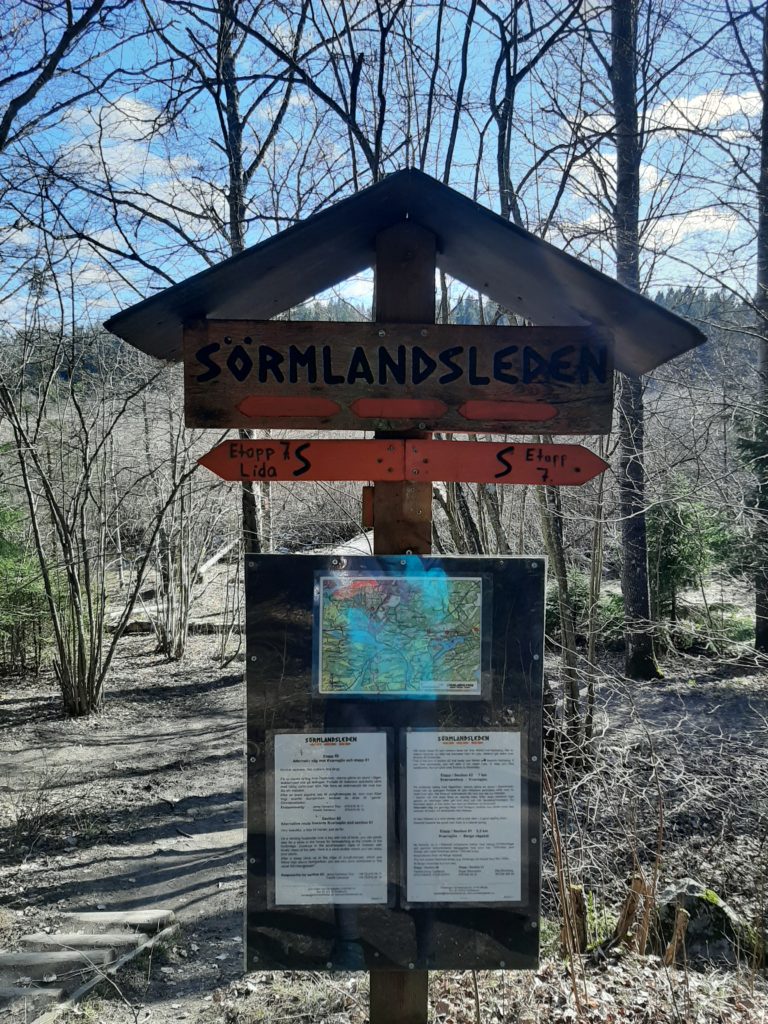
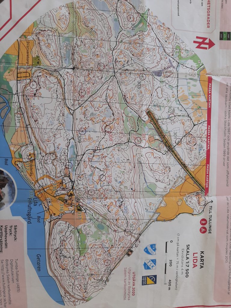
Orienteering is a big deal in Sweden. The local club is quite close to our place, and on Tuesday nights at 6PM there are loads of kids at every age and level doing activities and practicing their skills. Our neighbor is a keen member of the club, and gave us a map for the 7-month, municipality-wide orienteering event called ‘Hittaut‘ =’find it out(side)’.
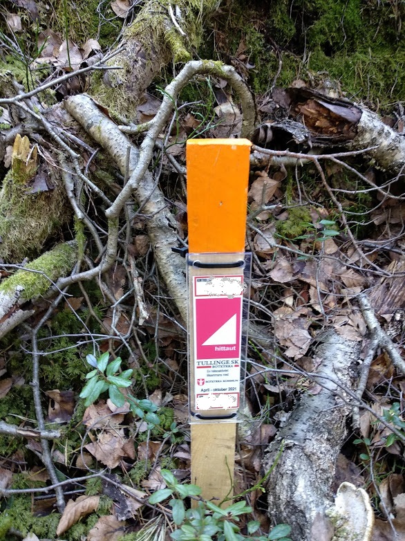
The elusive kontroll marker out in the forest, illuminted from the heavens… 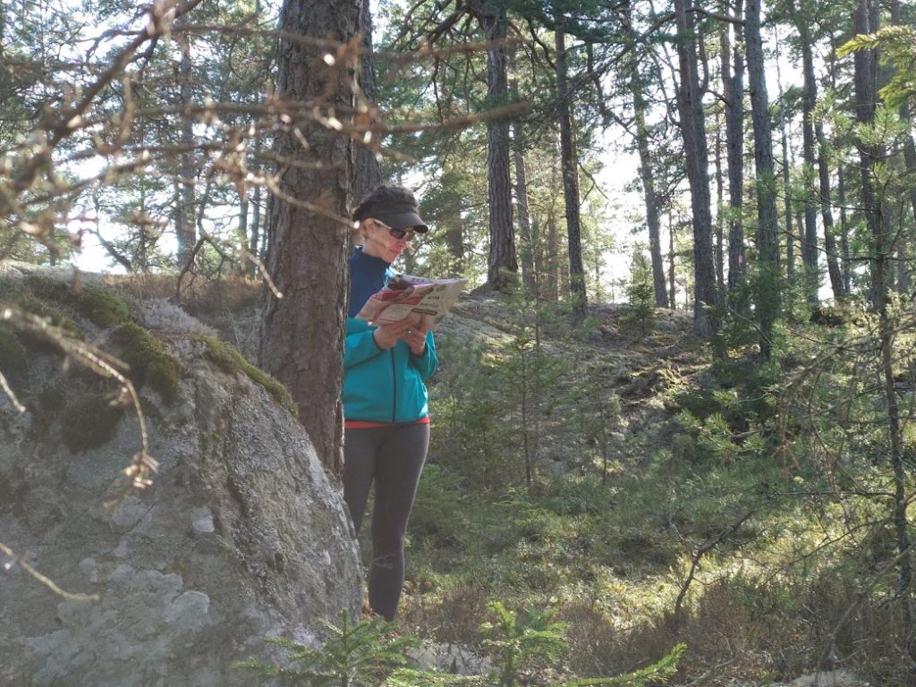
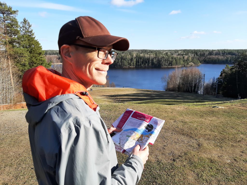
Reading the map…
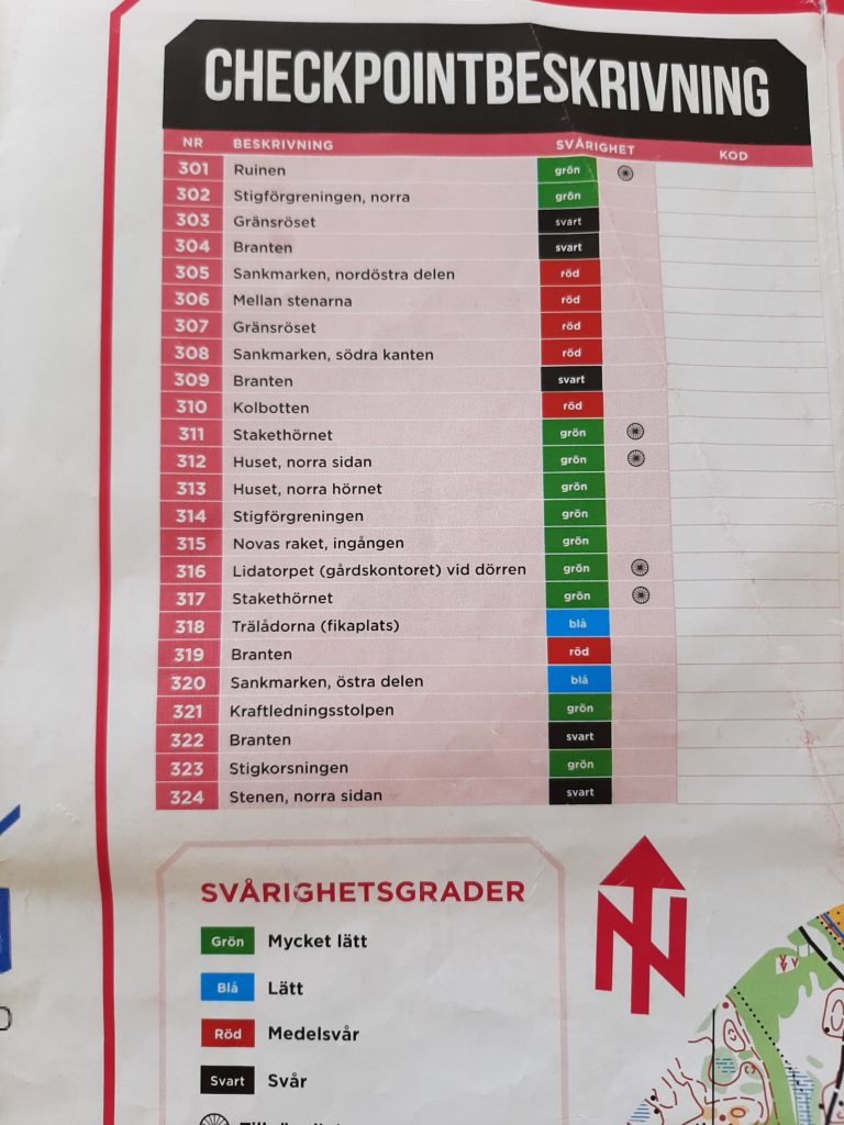
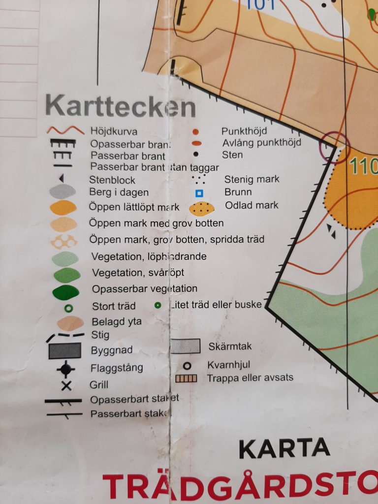
Basically, the map shows you a 100m radius in which there is a ‘kontroll’: a small marker with a code that you type into an app on your phone. Some are easy to find (green codes) and some are really tricky (red and black), and in our town there are also hints (“check by the bushes”) that have been good vocabulary builders for us. It is fun to learn the map symbols and get better at interpreting them; sometimes this involves learning the hard way that those tiny tables are actually ‘impassible cliffs’.
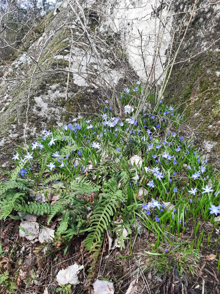
Blåsippor 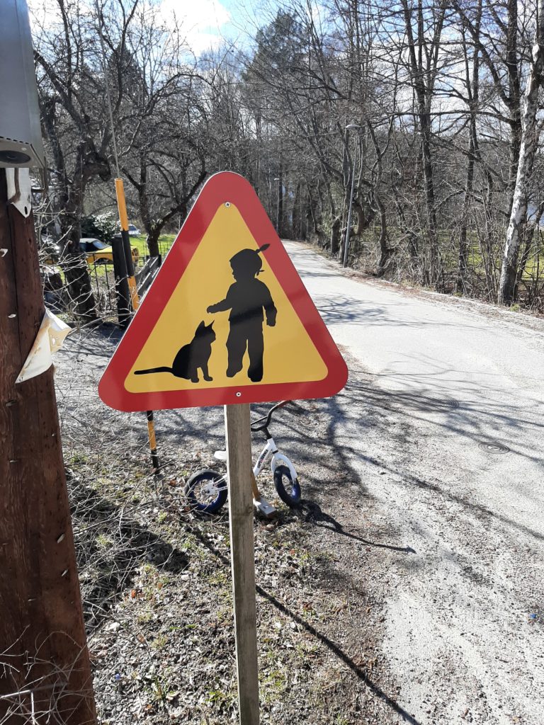
Drive carefully 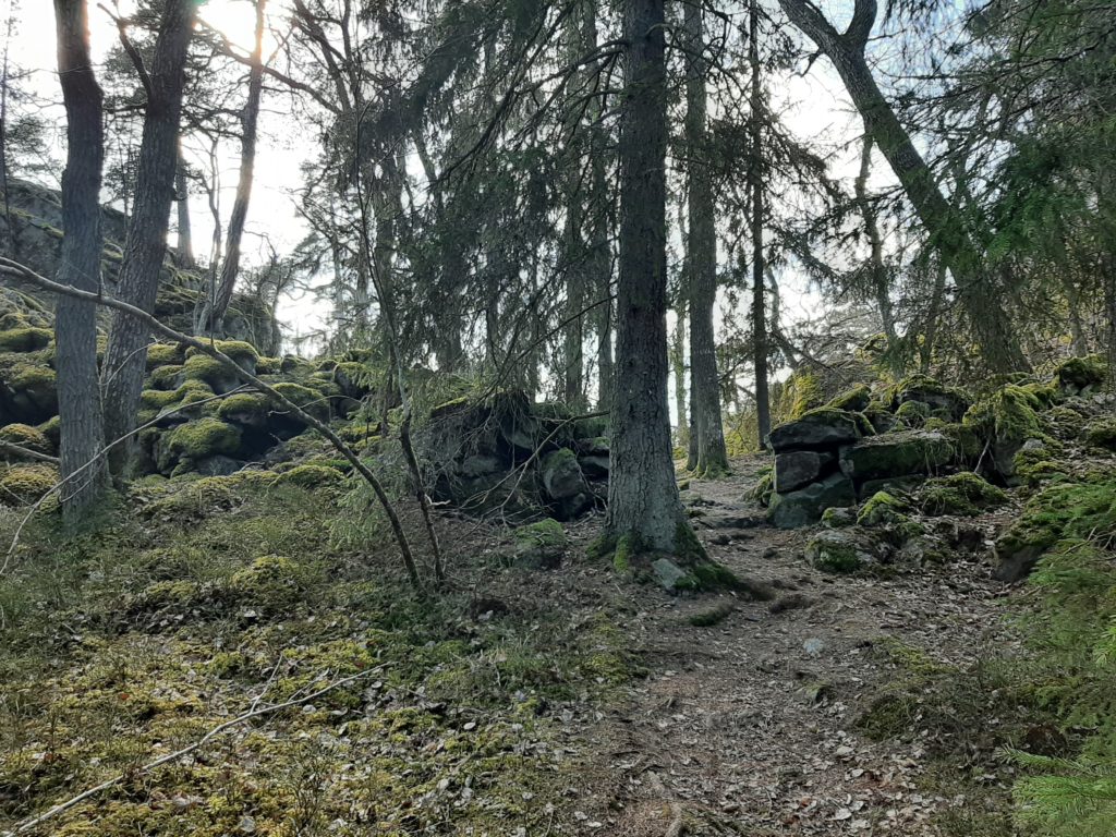
Ruins of a rustic stone fort 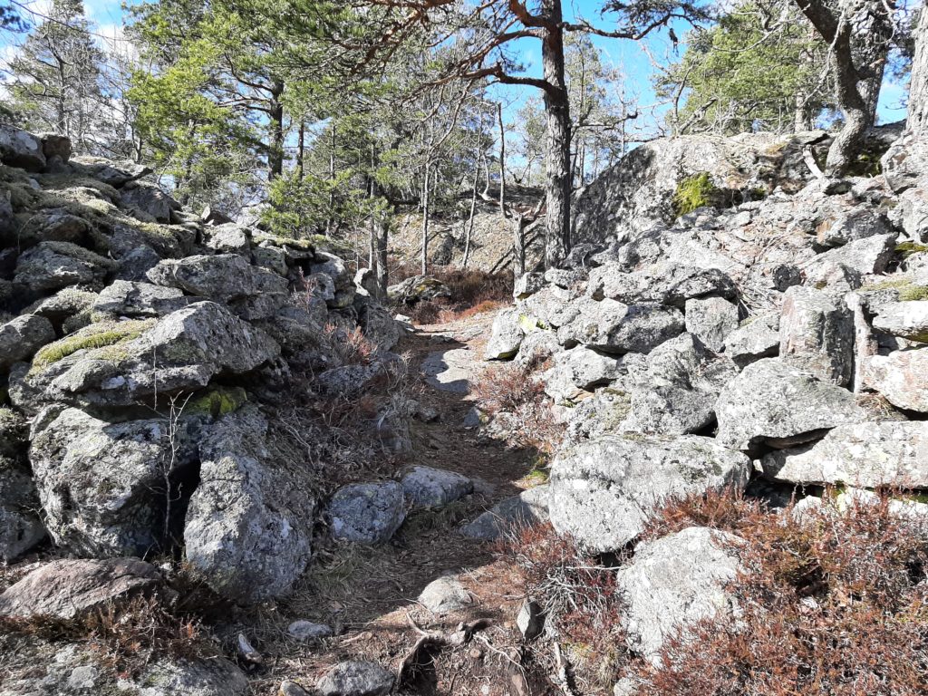
Ruins at örnberget 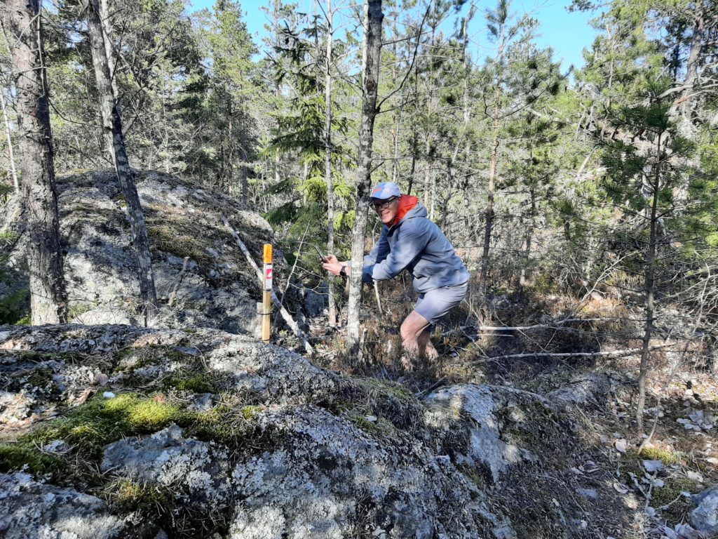
Graham found one!
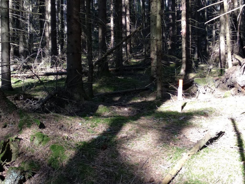
This has been a really nice way to learn more about our environment, and visit some neighborhoods that we would not have seen otherwise. We’ve also found some great pockets of forest and some interconnected connected powerline trails that make for challenging variety on the walking routes. The local ‘Eagle Mountain’ (Örnberget) has an amazing set of ruins, including a fort with walls enclosing over 200 sq m that was built in the early iron age (around when Jesus was born).